Julien Le Sommer & Baylor Fox-Kemper, both excellent lecturers on the theoretical side of modelling the ocean.
John Wilkin (friendly Rutger faculty) & Eric Chassingnet at the morning break coffee (Spain is magical), two of the founding members of this school.
GOV International School 2017
Operational Oceanography consists of providing an accurate description of the state of the oceans including its living resources, providing continuous forecasts of the future conditions of the oceans, and assembling data sets that can provide data for descriptions of past states. This requires systematic and long-term routine measurements of the oceans. At the heart of operational oceanography forecasting systems are numerical models that allow to describe the 4D ocean. To make prediction models reliable, it is necessary to assimilate frequently updated measurements. These data come from satellite observations and from in situ observations. Satellite altimetry in particular, is an invaluable aid in the observation of the oceans. In situ observations provide also access to the subsurface ocean. Today, multi-platform observing systems allow to characterize ocean state and variability at a variety of spatial and temporal scales. Data assimilation is needed to improve the consistency between data and numerical model simulations, to dynamically interpolate and extrapolate heterogeneous measurements. Outputs from numerical models are used to generate data products. Examples of products include ocean currents, ocean climate variability, climatology and seasonal weather forecasting, warnings (of coastal floods, ice and storm damage, harmful algal blooms and contaminants, etc.), ship routing, prediction of seasonal or annual primary productivity, sustainable use of fishing resources, search and rescue operations, etc. The final products and forecasts are distributed to industrial users, government agencies, and regulatory authorities.
Luckily, I was one of the student participants invited. The school was held at the all-inclusive resort Club Pollença Resort, right on the water. Mallorca is, aside from a great place to do research, is a cycling paradise.
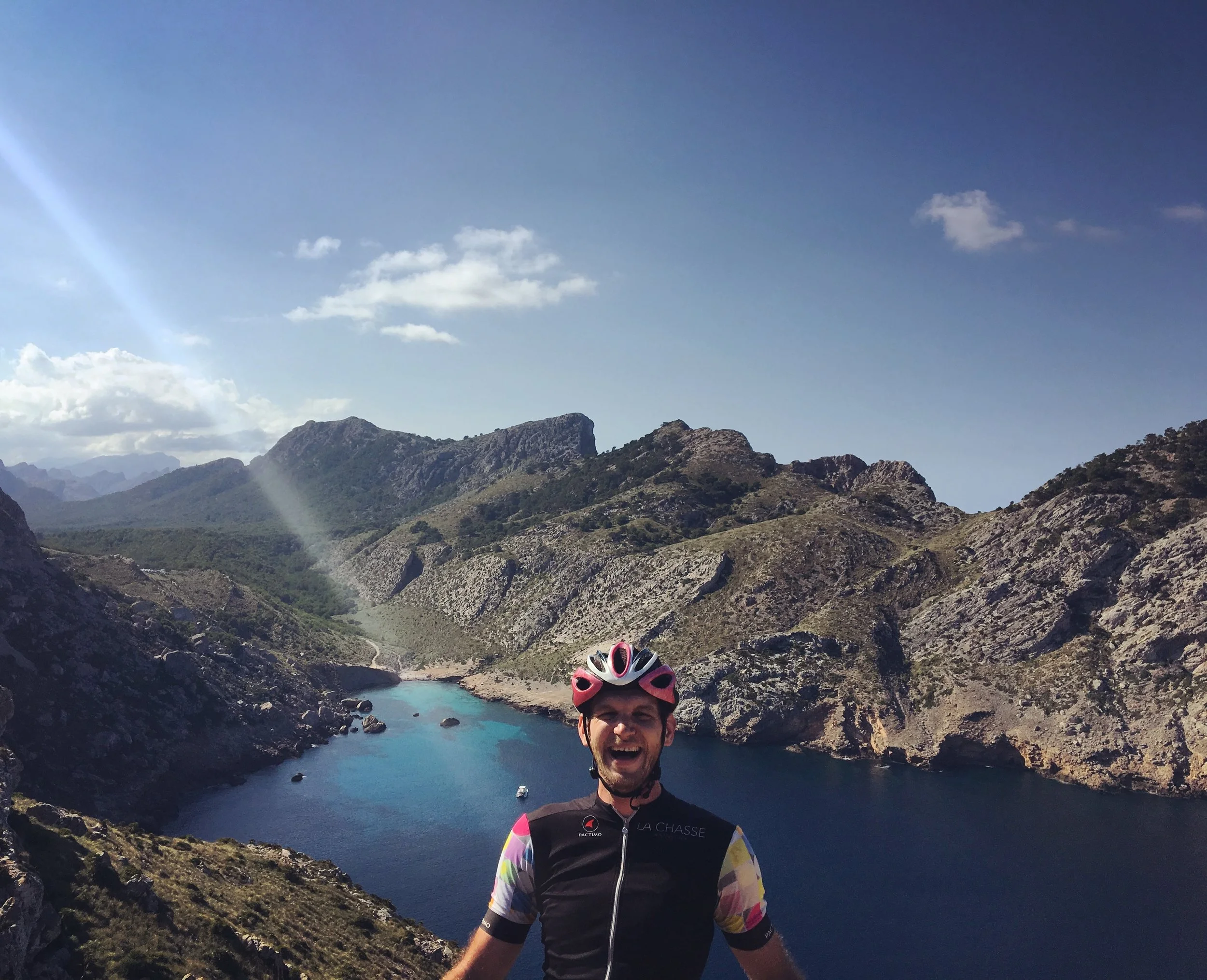
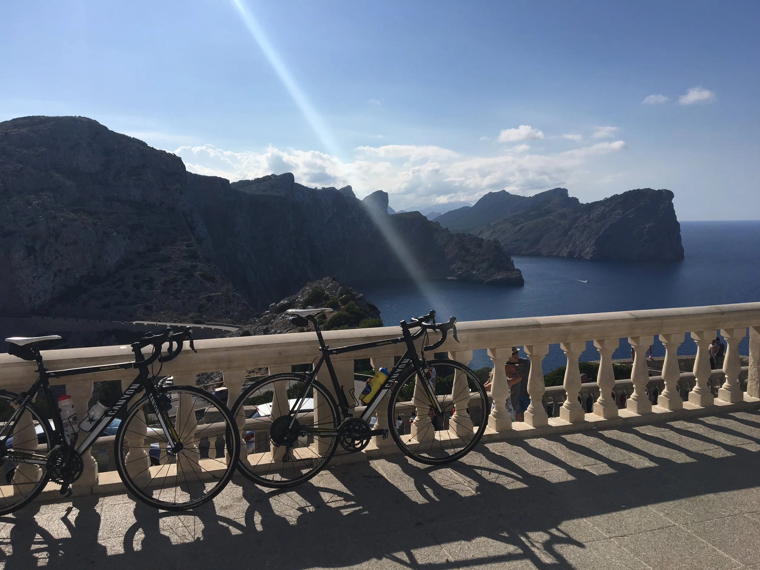
One of the locals that Tim and I followed out to the Cap de Formentor Lighthouse.
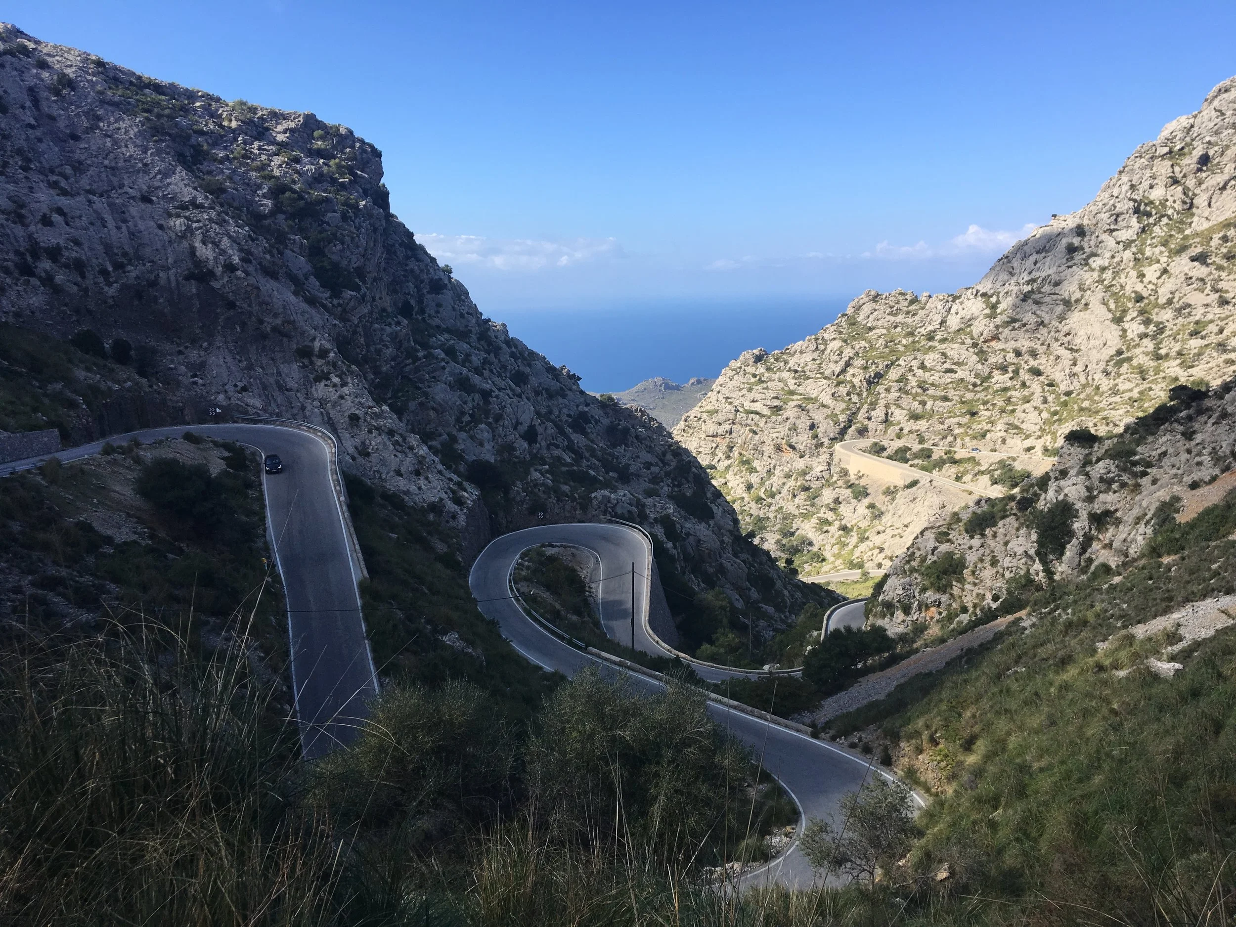
On the road to Sa Calobra, German tourists with much nicer hire bikes.
Cycling in Mallorca
I rented an aluminum Canyon frame from the Port Blue people, something very German–Baleiric Radsport. Then one of the other participants, Tim Smith, and I went about maximizing our time on the island. We were constantly blown away. Constantly. I was slow and out of shape, but I was truly blown away by how pristine and winding the tarmac was, each road glided up the mountains and across the coast.
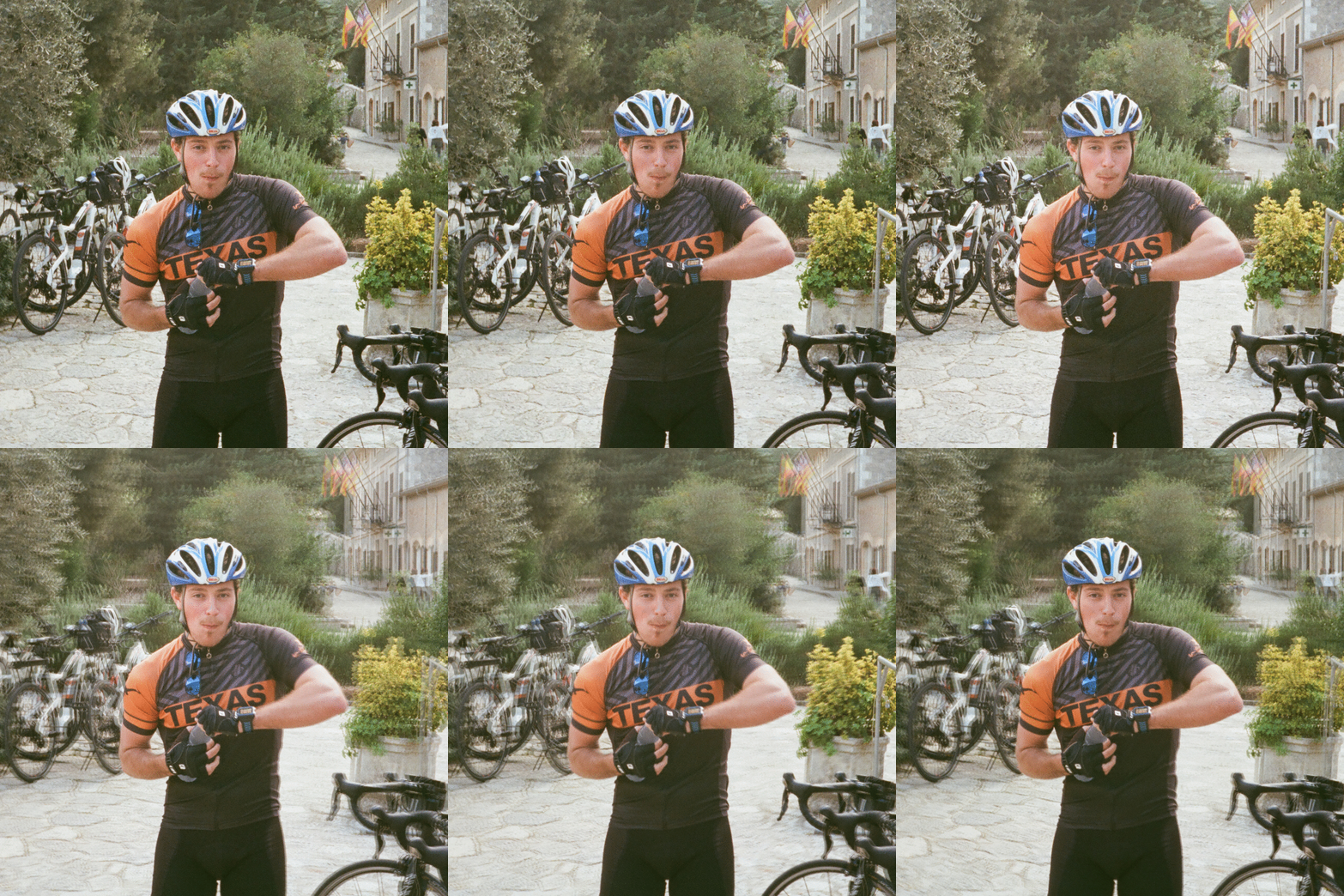
I brought my silly Nimslo3d Camera with me and went about taking odd pictures of people/rides. But the gifs from the Nimslo are a bit too big for the web...
Nevertheless, here is Tim eating a banana (during this ride), Chris Harris the fastest cyclist at GOV school, and some of my iPhone pictures.
TIM IS HUNGRY


